Why Papandayan
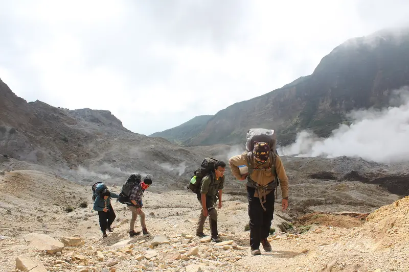
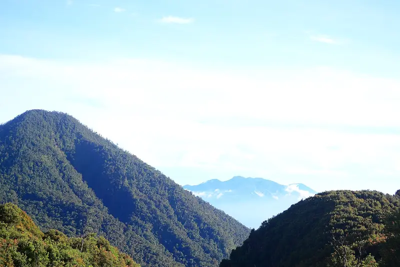
Papandayan is a volcano you visit from the inside. In 1772 its north-east flank collapsed, leaving a huge horseshoe-shaped crater open to the outside. Today you walk in through the old breach, in an hour of easy walking, and find yourself among hissing yellow fumaroles, pools of boiling mud and acid streams, with grey and green walls all around.
Above the crater lie two striking landscapes: Hutan Mati, a "dead forest" of bleached, twisted trees killed by the 2002 eruption, and Tegal Alun, a 30-hectare plateau covered in Javanese edelweiss. You can camp at Pondok Saladah, a clearing by a stream, with toilets and warungs.
It is the perfect volcano for a first time, with children, or for anyone who wants to see an active volcano without suffering.
Papandayan at a glance
| Elevation | 2,665 m |
|---|---|
| Type | Complex stratovolcano, collapsed to the north-east |
| Craters | Kawah Mas ("golden crater"), Kawah Baru, Kawah Nangklak, Alun-Alun |
| Activity | Fumaroles, solfataras and small phreatic eruptions |
| Eruptions | 4 recorded: 1772, 1923-1925, 1942, 2002 |
| Access | Camp David, near Cisurupan, 1 h from Garut |
| Time | 2 to 4 hours for the crater; 1 to 2 days with Tegal Alun and camping |
| Difficulty | Easy |
| Alert level | I (normal) in November 2026 |
Is Papandayan open?
The box next to this article gives today's status. The volcano is at level I. The site is run by a private concession on behalf of the Ministry of Forestry, which sets opening hours, fees and closures. We found no recent closure notice, but the site can close for fires or rising gas levels.
When to go
From April to October, in the dry season. Papandayan is open all year, but West Java is very wet from November to March and the trails turn muddy. Avoid weekends, when campers from Bandung and Jakarta fill Pondok Saladah.
Getting there
The hike starts from the Camp David car park (about 2,000 m), above the village of Cisurupan, an hour from Garut. Garut is 2 hours from Bandung (airport, trains from Jakarta) and 5 hours from Jakarta, depending on traffic.
The hike
The crater
From the car park, a wide stony path enters the crater through the 1772 breach. In 45 minutes to an hour you are in the heart of the active zone: Kawah Mas, covered in yellow sulphur, hissing fumaroles, mud pools. The gas is sometimes strong: a damp scarf helps. Stay on the path, the ground is fragile in places.
Pondok Saladah and Hutan Mati
The path continues to the clearing of Pondok Saladah (2,288 m), the campsite. Just above it begins Hutan Mati: hundreds of dead, bleached trees on grey ash. At sunrise it is the most photographed scene on Papandayan.
Tegal Alun
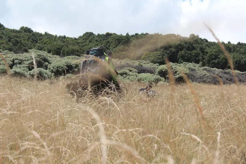
An hour's steep climb from Pondok Saladah brings you to Tegal Alun (about 2,500 m), a plateau covered in Javanese edelweiss. It is the high point of the classic hike; the true summit of Papandayan is hard to reach and rarely visited.
Map and GPX track
- Camp David → cratère → Pondok Saladah → Tegal AlunDistance 3.1 km · Elevation gain 167 m · Start 2,126 m → High point 2,304 mDownload the GPX track ↓
Indicative route from OpenStreetMap; elevations from Copernicus. Check on the ground and follow your guide. © OpenStreetMap, OpenTopoMap (CC-BY-SA), Open-Meteo.
How much does it cost?
The site charges different entrance fees for Indonesian and foreign visitors, plus camping and parking fees. A guide is not needed for the crater and Pondok Saladah; one is useful for Tegal Alun in bad weather.
We do not run Papandayan trips. In East Java, Bromo and Kawah Ijen are active volcanoes anyone can visit.
The history of Papandayan
The 1772 collapse
On the night of 11 to 12 August 1772, Papandayan erupted. Part of its north-east flank collapsed and turned into a debris avalanche that buried 40 villages and killed nearly 3,000 people. It is the volcano's first known eruption and one of the deadliest in the history of West Java. The horseshoe breach through which you enter the crater today is its scar.
The 20th century
Moderate phreatic explosions occurred in 1923-1925 and in 1942. The volcano became an outing for the people of Garut and Bandung.
The 2002 eruption
In November 2002, after weeks of earthquakes, Papandayan had a series of phreatic explosions at Kawah Baru and Kawah Nangklak. Lahars poured down the valleys and thousands of villagers were evacuated. The gas and ash killed the forest above the crater: this is how Hutan Mati was born.
The volcano
Papandayan is a complex stratovolcano at the southern end of an arc-shaped volcanic massif that also includes Kendang, Puntang and Jaya. Several collapse episodes gave it an irregular profile and produced debris avalanches that reached the plains. The summit holds four large craters, including the flat-floored Alun-Alun, 1.1 km wide. The active area, Kawah Mas, is covered in sulphur.
The eruptions of Papandayan
The Smithsonian records 4 eruptions:
- 1772 (VEI 3): flank collapse, about 3,000 dead;
- 1923-1925 (VEI 1): explosions at Kawah Baru and Kawah Nangklak;
- 1942 (VEI 1);
- 2002 (VEI 2): phreatic explosions, lahars, birth of the dead forest.
The PVMBG monitors Papandayan from the Cisurupan observatory and publishes its reports on MAGMA Indonesia.
Full timeline: 4 recorded eruptions
| Start | End | VEI | Location |
|---|---|---|---|
| 2002-11-11 | 2002-12-19 | 2 | Kawah Baru, Kawah Nangklak |
| 1942-08-15 | 1942-08-16 | 1 | |
| 1923-03-11 | 1925-03-09 | 1 | Kawah Baru, Kawah Nangklak |
| 1772-08-12 | 1772-08-12 | 3 |
Source: Smithsonian Institution, Global Volcanism Program. VEI = Volcanic Explosivity Index, from 0 (effusive) to 8 (supervolcano); each step means ten times more material.
Frequently asked questions
Is Papandayan easy?
Yes. The crater is an hour's walk from the car park, on a wide path. Tegal Alun takes one more, steeper hour.
Can I go with children?
Yes, it is one of the most accessible active volcanoes in Indonesia. Keep them on the path and away from the fumaroles.
Can I camp on Papandayan?
Yes, at Pondok Saladah, with toilets and warungs. Gear can be rented in Garut or on site.
Is Papandayan dangerous?
The hazards are the gas near the fumaroles, the fragile ground around the mud pools and, rarely, phreatic explosions. Follow the site's instructions.
Sources
- MAGMA Indonesia (PVMBG), Papandayan activity report of 15 November 2026
- Smithsonian Institution, Global Volcanism Program, Papandayan (263100)
- Our former Papandayan guide (2019, in French)
Article updated on 16 November 2026