Why Inerie
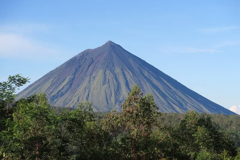
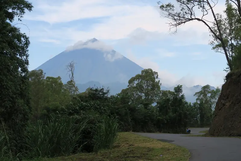
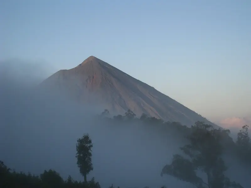
You can see Inerie from everywhere around Bajawa: a grey, sharp, almost geometric pyramid above the forest and the rice fields. At its foot lie the traditional villages of the Ngada, such as Bena, with their thatched houses lined up around megaliths and shrines.
The climb is done at night, in three or four hours, on a trail that gets steeper and looser as you go. At the summit, marked by three crosses (this is Catholic country), the sun rises over the ocean, over the deep crater opening beneath your feet, and over the whole volcanic chain of Flores, with Ebulobo steaming 27 km to the east.
There are no crowds and no infrastructure here: on Flores, "popular" means about ten hikers a day.
Inerie at a glance
| Elevation | 2,245 m, the highest volcano on Flores |
|---|---|
| Type | Symmetrical andesitic stratovolcano |
| Crater | Small, steep-walled crater, oriented east-west, just east of the summit |
| Activity | No known historical eruption; Holocene activity assumed |
| Trailhead | Watumeze, 20 to 30 minutes from Bajawa, at about 1,000 m |
| Time | 3 to 4 h up, 2 h down |
| Difficulty | Moderate to hard: very steep and slippery slope in pumice |
| Alert level | I (normal) in November 2026 |
Is Inerie open?
The box next to this article gives today's status. The volcano is at level I. The MAGMA report of 15 November 2026 only advises not entering the summit crater and not spending the night there. There is no site manager and no booking: you register in the village where the trail starts.
When to go
From April to November, in the dry season, the best time on Flores. In the rainy season the trail turns slippery and the summit is often in cloud.
Getting there
Bajawa, the small capital of Ngada country, lies on the Trans-Flores road, about 4 hours from Ende, 4 to 5 hours from Ruteng and around ten hours from Labuan Bajo. Shared taxis and minibuses (travel) link these towns. Bajawa has a small airport at Soa, an hour's drive away, with irregular flights.
From Bajawa, a motorbike or a car takes 20 to 30 minutes to the village of Watumeze, where the hike begins.
The climb
Start around 3:30 am, to avoid the heat and arrive for sunrise: the climb follows the east face, in full sun from dawn.
- From 1,000 to 1,350 m: an easy savannah dotted with eucalyptus.
- From 1,350 to 1,800 m: the slope steepens clearly, but the ground stays stable.
- Above 1,800 m: the hard part. The trail attacks the rocky cone on pumice and small stones that roll like marbles, between deep gullies.
- Around 2,100 m: you reach the lower rim of the crater. Follow it to the right (north), with a short descent, then climb back up to the summit and its crosses.
From the summit the view is all-round: the Bajawa region, the Savu Sea to the south, the cones of the Bajawa chain to the north-east, Ebulobo to the east, and to the north the eroded, dizzying hills of Watu Nariwoto.
The descent needs a lot of care: the mix of hard rock and rolling stones is treacherous. Gloves protect your hands from the sharp rocks.
Do I need a guide?
A local guide from Watumeze or Bajawa is recommended, especially at night: they know the trail and the good lines through the scree. There is no official entrance fee, but a small contribution to the village.
We do not run Inerie trips. In East Java, Bromo and Kawah Ijen combine easily with Bali and Flores.
Around Inerie
- Bena, the most famous Ngada village, at the foot of Inerie: two rows of traditional houses, megalithic tombs, ngadhu (parasol-shaped male shrines) and bhaga (small female houses).
- Malanage, where a hot river and a cold river meet: you can bathe there.
- Wolo Bobo, a volcanic hill with a view of Inerie, Ebulobo and the region.
- The Wawomudha crater and Inielika, north of Bajawa: see the guide.
- The Reba festival, the Ngada new year, between December and February.
The volcano
Inerie is the highest volcano on Flores. Its small, steep-walled crater, oriented east-west, opens just east of the summit, whose upper slopes are bare. An old caldera rim (somma) lies to the west and north-west. To the north-east stretches a chain of Pleistocene cones, the Bajawa cone complex, including Wolo Bobo, one of whose eruptions has been dated to about 10,000 years ago.
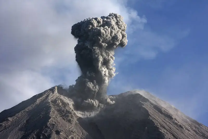
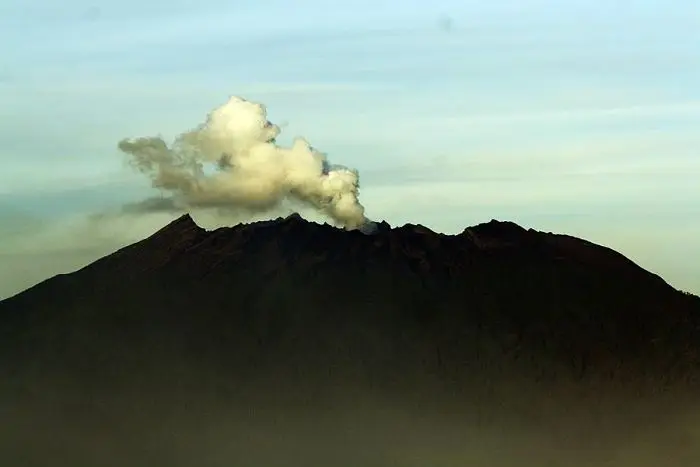
The date of Inerie's last eruption is unknown. A column of "smoke" has sometimes been seen above the crater, as in June 1911. Hot springs rise on its north flank, and there are geothermal areas to the east.
Full timeline: 1 recorded eruptions
| Start | End | VEI | Location |
|---|---|---|---|
| 8050 BCE | ? | – | NE side (Wolo Bobo) |
Source: Smithsonian Institution, Global Volcanism Program. VEI = Volcanic Explosivity Index, from 0 (effusive) to 8 (supervolcano); each step means ten times more material.
How it is monitored
The PVMBG monitors Inerie and publishes its observations on MAGMA Indonesia. The report of 15 November 2026 notes no plume, only tectonic earthquakes and two felt earthquakes in the region.
Frequently asked questions
How long does Inerie take?
Three to four hours up and about two hours down: a morning.
Is Inerie difficult?
The first half is easy. The second is very steep, on slippery pumice. You need good shoes and to be comfortable on scree.
Is Inerie an active volcano?
It has no known historical eruption, but it is classed as a Holocene volcano and monitored by the PVMBG.
Can I do Inerie and Bena on the same day?
Yes: Inerie in the morning, Bena and the Malanage hot springs in the afternoon.
Sources
- MAGMA Indonesia (PVMBG), Inerie activity report of 15 November 2026
- Smithsonian Institution, Global Volcanism Program, Inierie (264080)
- Our former Inerie guide (2019, in French)
Article updated on 16 November 2026