Why Agung
Everywhere in Bali, people turn towards Agung. Temples face it, so do houses; people sleep with their heads towards it. For Balinese Hindus, Gunung Agung is the centre of the world, the home of the gods and ancestors, a replica of Mount Meru. The mother temple of Besakih clings to its south-west flank.
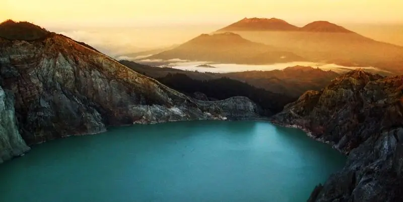
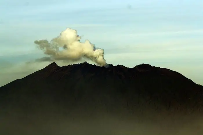
Climbing it therefore means first entering a place of worship. You go up at night, by head torch, on a steep path of lava and roots, with a Balinese guide who stops to pray at the shrines. At sunrise you look over the whole island: the lake and caldera of Batur to the north-west, the Amed coast to the north, Rinjani on Lombok rising out of the clouds to the east. And beneath your feet, a crater 800 m wide that was still steaming in 2019.
It is the finest and most demanding climb in Bali.
Agung at a glance
| Elevation | 3,142 m according to the PVMBG; 3,031 m is the height long given on maps |
|---|---|
| Type | Andesitic stratovolcano on the south-east rim of the Batur caldera |
| Crater | About 800 m wide, on the eastern part of the summit |
| Activity | Major eruptions in 1843 and 1963 (VEI 5), eruptive phase 2017-2019 |
| Routes | Pasar Agung (south, crater rim); Besakih (south-west, summit); Dukuh and Budakeling (north-east) |
| Time | 6 to 7 h there and back via Pasar Agung; 10 to 12 h via Besakih |
| Difficulty | Very steep, 1,400 to 2,000 m of ascent in one night |
| Alert level | I (normal) in November 2026 |
Is Agung open?
The box next to this article gives today's status.
The volcano is at level I (normal). The MAGMA report of 15 November 2026 nevertheless advises limiting the time spent near the crater, not staying there in the rain, not spending the night there and not going down into the crater. It also warns about lahars in the rivers that run down from the summit.
But in Bali, the volcano is not the only one to decide. The mountain is closed during the great ceremonies at Besakih and the temples on its flanks, several times a year, and the religious authorities may ask people not to climb on certain days. We found no recent official announcement on opening: check with your guide a few days before.
The rules of the sacred mountain
- A Balinese guide is compulsory. Bali's authorities require licensed guides for foreigners on the island's volcanoes. An Agung guide knows the way, but also the prayers, the taboos and the ceremony days.
- Registration at the Pasar Agung or Besakih temple.
- Customary taboos: you do not climb with beef (the animal is sacred), you do not make noise, you do not climb onto shrines. Traditionally, women who are menstruating do not climb. Your guide will tell you what applies.
- Dress: a sarong and sash are sometimes required to cross the temples at the start.
When to climb Agung
- April to October, in the dry season, for a clear sky at sunrise.
- Avoid the rainy season (November to March): the trails become dangerous and the guide may cancel.
- Avoid the great ceremonies, especially around Galungan and Kuningan, and the ten-yearly ceremonies at Besakih.
You start between 11 pm and 2 am depending on the route, to reach the top at sunrise, around 6 am. It is cold up there, often around 5 °C, with wind.
Getting there
Agung is in eastern Bali, about 2 hours by road from Ubud and 2 h 30 from Sanur or Kuta. Guides usually pick their clients up at their hotel around midnight. You can also sleep in Sidemen, Rendang or Besakih the night before.
The routes
Via Pasar Agung, the shortest route
The temple of Pura Pasar Agung, at about 1,500 m on the south flank above the village of Sebudi, is the most common starting point. The trail climbs very steeply through forest, then over slabs of lava. You reach the crater rim, at around 2,900 m, in 3 to 4 hours. It is not the highest point, which lies west of the crater, but the view of the crater and of Rinjani is magnificent. Descent in 2 to 3 hours.
Via Besakih, the summit route
From the great temple of Besakih (about 1,000 m), the route climbs to the true summit, west of the crater. It is longer (5 to 7 hours up) and steeper, with passages where you use your hands. At the top you see the crater, Batur and almost the whole island. It is one of the most demanding hikes in Indonesia, because of more than 2,000 m of ascent in one go.
From the north-east
The Dukuh and Budakeling routes, from the north-east, are less used and require a guide who knows them well.
How much does the climb cost?
The price depends mainly on the guide: a package including guide, transport and temple offerings. Rates vary with the route, group size and pick-up from your hotel. Add donations to the starting temples.
We do not run Agung trips, but an hour from Bali by ferry we run Kawah Ijen and Raung.
The history of Agung
The mountain of the gods
Balinese texts say that when the gods moved Mount Meru from India to Java, a fragment fell on Bali: Agung. The temple of Besakih (Pura Besakih), on its flank, is the most important on the island: a complex of twenty-three temples, whose foundations may go back to the 8th century, where the great purification ceremonies for the whole island take place.
1963: the eruption and the ceremony
In February 1963 Bali was preparing for the Eka Dasa Rudra, a universal purification ceremony held only once a century. On 18 February, Agung erupted. The priests decided to go ahead with the ceremony. On 17 March the volcano exploded violently: pyroclastic flows and lahars devastated the north and south flanks, killed about 1,100 to 1,600 people according to the estimates, and displaced tens of thousands. A second explosive phase followed in May. The lava flow stopped a few hundred metres from Besakih, which many Balinese saw as a divine sign. The eruption, one of the strongest of the 20th century (VEI 5), slightly cooled the planet's climate.
The climbs
Balinese people have climbed Agung to pray for centuries, especially during ceremonies. The first accounts of climbs by foreigners date from the Dutch colonial era. The night trek became popular with travellers from the 1990s, until the long closure of 2017-2019.
The eruptions of Agung
The Smithsonian records 7 eruptions of Agung. Few, but often violent.
1808. Explosions and ash fall.
1843. A major eruption (VEI 5), with ash over much of Bali.
1963-1964. One of the largest eruptions of the 20th century (VEI 5): about 1,100 to 1,600 dead, lava flows and pyroclastic flows.
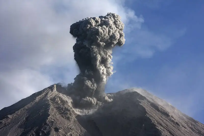
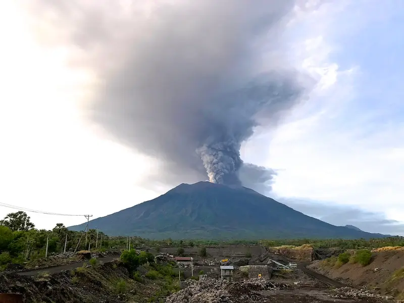
2017-2019. After weeks of earthquakes, the PVMBG raised Agung to level IV on 22 September 2017: about 140,000 people evacuated. The eruption began on 21 November 2017. Bali's international airport closed from 27 to 29 November, stranding tens of thousands of travellers. Lava gradually filled the crater, and explosions followed one another until 2019.
2022. Small explosions, without consequences.
Full timeline: 7 recorded eruptions
| Start | End | VEI | Location |
|---|---|---|---|
| 2022-12-13 (uncertain) | 2022-12-13 | 1 | |
| 2022-04-03 | 2022-05-27 | 1 | |
| 2017-11-21 | 2019-06-13 | 3 | Summit crater |
| 1963-02-18 | 1964-01-27 | 5 | |
| 1843-07-02 | ? | 5 | |
| 1821-03-16 (uncertain) | ? | 2 | |
| 1808-07-02 | ? | 2 |
Source: Smithsonian Institution, Global Volcanism Program. VEI = Volcanic Explosivity Index, from 0 (effusive) to 8 (supervolcano); each step means ten times more material.
How Agung is monitored
The PVMBG monitors Agung from the Rendang observatory, to the south-west. Daily reports are published on MAGMA Indonesia; the one of 15 November 2026 reports no plume and only two deep volcanic earthquakes.
Around Agung
- Besakih, the mother temple of Bali, on the south-west flank.
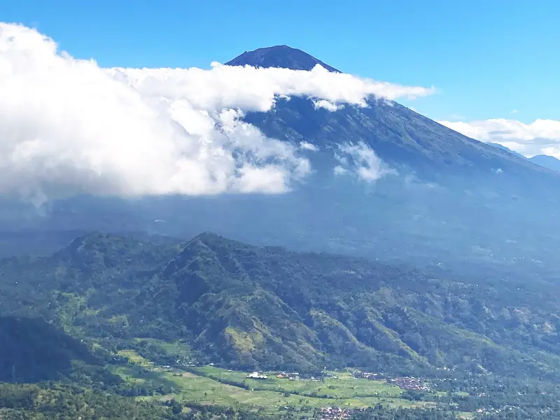
- Sidemen, a valley of terraced rice fields at the foot of Agung, with the finest view of the volcano.
- Batur, to the north-west: an active volcano in a caldera with a lake, climbed by thousands of hikers at sunrise.
- Tirta Gangga and Amed, to the east.
- Kawah Ijen, an hour by ferry from Bali: see our guide.
Frequently asked questions
Can you climb Agung without a guide?
No. A licensed guide is required for foreigners, and is in any case essential for safety and for respecting the sacred places.
Pasar Agung or Besakih?
Pasar Agung is shorter (3 to 4 hours up) but stops at the crater rim. Besakih leads to the true summit, in 5 to 7 hours up, with more than 2,000 m of ascent.
Is the Agung climb difficult?
Yes, it is one of the steepest in Indonesia. You need to be fit and have strong knees for the descent.
When is Agung closed?
During the great ceremonies at Besakih and the mountain's temples, in the rainy season when the trails are dangerous, and when the alert level rises.
Agung or Batur?
Batur is climbed in two hours, with hundreds of people at sunrise. Agung takes a whole night of effort, but you are almost alone, and the view is incomparable.
Can Agung erupt again?
Yes. It is an active volcano, back at normal level after its 2017-2019 phase. The PVMBG monitors it continuously.
Sources
- MAGMA Indonesia (PVMBG), Agung activity report of 15 November 2026
- Smithsonian Institution, Global Volcanism Program, Agung (264020)
- Our former Agung guide (2017-2018, in French), with the activity reports of December 2017
Article updated on 16 November 2026